San Pedro Valley County Park, Pacifica CA
• 4-star hikes
• 2 to 5 mile options
• Easy | Gain 640 to 1,220 feet
• Pacifica, CA | San Francisco Region
.

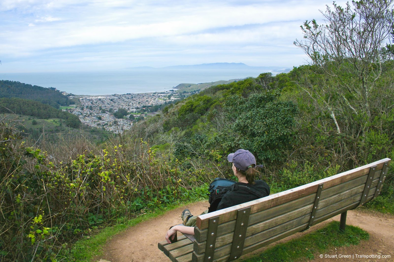
Pacific views from the top of the Brooks Falls Trail.
Hidden in the back of the Linda Mar area of Pacifica, San Pedro Valley County Park is not only the best place from which to begin your hike up Montara Mountain, which is also a great hiking destination in itself. We highlight a couple of looping trail routes for your consideration, but there's also several other hiking trails that we show on our map including small nature walk along Plaskon Nature Trail. Picnic spots area also scattered throughout the park.
If you choose to park your vehicle within the San Pedro Valley Park charges a day use fee and operates seasonal opening times. You'll find plenty of parking, an interpretive center, barbecue areas, picnic tables and open spaces available to you. If there's a chance that we'll be hiking after the park's closing time then we usually leave our vehicle in the residential neighborhood outside the gates to avoid getting locked in or ticketed.
| ⬤ 4★ Brooks Falls Loop
GPX File · AllTrails · Directions GPX? |
| ⬤ 4★ Hazelnut & Valley View Loop
GPX File · AllTrails · Directions |
| ⬤ 4★ Montara Mountain Trail
GPX File · AllTrails · Directions |
| $ State Park fee
|
⬤ Brooks Falls Loop
Although little rain can sometimes dampen a hiker's day, a good rainfall at San Pedro Valley Park can bring the Brooks Falls loop trail to life in a very real sense. Coupled with the fact that this part of Pacifica, towards the back of Linda Mar, gets more sun than most makes this a great hike for locals tackle in the early months of the year.
Pick up the Brooks Creek trailhead located near the restrooms and follow it uphill through a forest of eucalyptus. At a fork in the trail, take the uphill direction and you'll soon be clear of the forest and surrounded by scrub and manzanita with views of the surrounding hills and sound of water in Brooks Creek below. The best viewing spot for Brooks Falls is just before the half-way point in the hike, but don't expect much more than a drizzle of water unless the area has experienced recent heavy rainfall. There are also picturesque ocean views at the end of Brooks Creek trail where it intersects with the Montara Mountain trail. Hang a left, and return down Montara Mountain trail back to the park entrance.

⬤ Hazelnut & Valley View Loop
Explore the hills of San Pedro Valley County Park as they switchback up the eucalyptus trees on Hazelnut Trail, and on the open grassy hills of the Valley View trail. If you prefer to hike Hazelnut and return on Weiler Ranch Road you can shorten the hike to 4.2 miles and 885 feet elevation gain. Shorten it even further by hiking Valley View and returning on Weiler Ranch Road at 2.0 miles and arougn 430 feet of elevation gain.
⬤ Montara Mountain Trail
We list statistics for the total length of the out-and-back hike to Montara Mountain, though the section inside the park boundaries is around 2.4 miles in length. See our in-depth trail review of Montara Mountain, which is linked in the 'Trailspotting Neaby' section at the bottom of the page.

On the Montara Mountain Trail above Pacifica.
Tangents:
• Official: San Pedro Valley Park
• AllTrails Public: San Pedro Valley Park
• Facebook Group: Comment, Follow Us


San Francisco Bay's Best Trails
For great hiking trails throughout the Bay Area check these out.
For great hiking trails throughout the Bay Area check these out.

Best Trails of California
See our favorite hiking trails for each region of California.
See our favorite hiking trails for each region of California.


