
Mount Judah & Donner Peak, CA
• 5-star hike
• 3 to 5 mile options
• Moderate | Gain 890 to 1,310 ft | Peak 8,243 ft
• Donner Summit, CA | Lake Tahoe
.
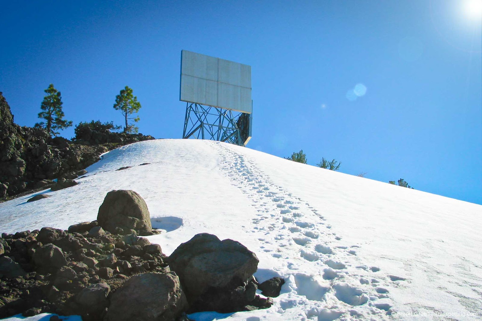
On the trail through June snow.
The Mount Judah Loop Trail offers hikers a rewarding 5.5-mile circuit in the Northern Sierra Nevada that includes two summit experiences with exceptional views. Located near Donner Pass, this moderate-to-challenging trail provides significant scenic value relative to its length.
The hike begins at the intersection of historic US-40 and the Pacific Crest Trail (PCT), approximately 2 miles west of Donner Pass Road. A small parking area accommodates about 10-15 vehicles, which can fill quickly on summer weekends. No permits are required for day hiking.
From the trailhead, the path immediately begins climbing via switchbacks toward Sugar Bowl ski resort. After approximately one mile of steady ascent, hikers reach a junction where a short easterly detour (about 0.3 miles) leads to Donner Peak. This first summit offers panoramic views of Donner Lake and the surrounding mountain landscape. Many day hikers choose to make this their turnaround point, which creates a satisfying 2.5-mile out-and-back experience.
| ⬤ 4★ Donner Peak Out & Back
GPX File · AllTrails · Directions GPX? |
| ⬤ 5★ Donner Peak & Mt Judah Loop
GPX File · AllTrails · Directions |
| P Free parking |
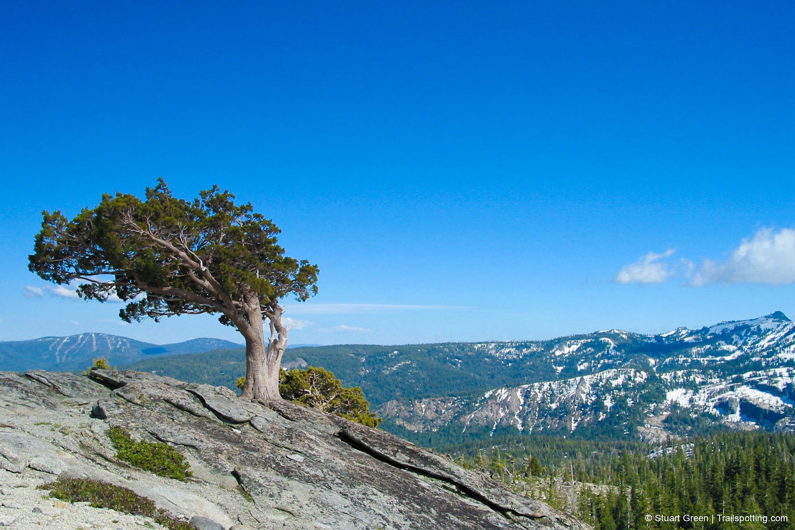
For those continuing the full loop, the trail proceeds from the junction toward Mount Judah, climbing more steeply as it approaches the summit. At 8,243 feet, Mount Judah's peak provides 360-degree views extending across the Tahoe National Forest and beyond to the Central Valley on exceptionally clear days.
From Mount Judah's summit, the trail follows a well-defined ridgeline to the higher southern peak. This section traverses exposed terrain with minimal shade. After reaching the second summit, the trail descends gradually back to the PCT, completing the loop with a gentle downhill section through forest. Note that snow typically covers portions of this trail from November through early June, with higher elevations retaining snowfields into summer.
Tangents:
• AllTrails Public: Mount Judah Loop
• Facebook Group: Comment, Follow Us

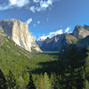
Yosemite's Best Trails
Epic scenery and adventures await. Summit hikes, waterfalls and more to choose from.
Epic scenery and adventures await. Summit hikes, waterfalls and more to choose from.

Best Trails of California
See our favorite hiking trails for each region of California.
See our favorite hiking trails for each region of California.


