Four Mile Trail & Glacier Point CA
• 4-star hike
• 9 mile out-and-back
• Moderate | Gain 3,200 to 3,210 ft | Peak 7,200 ft
• Yosemite, CA | Yosemite Region
.

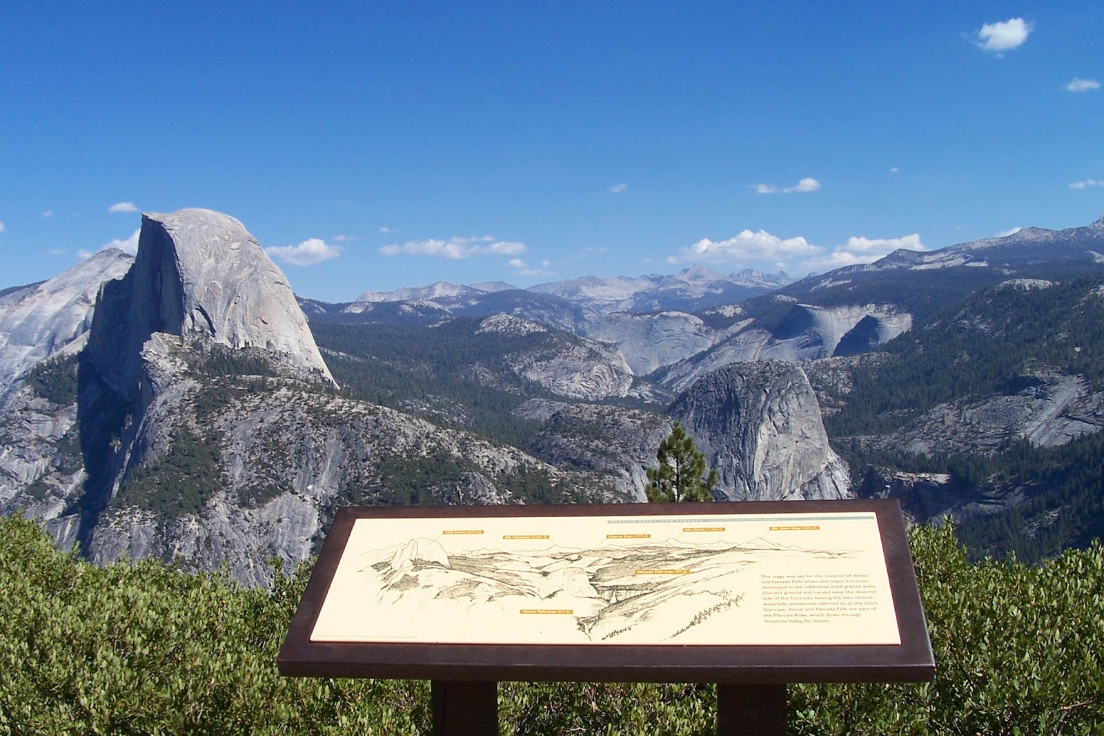
Views of Half Dome and beyond from Glacier Point.
Want to hike up the side of Yosemite Valley and marvel at the views, but either don't have the time or the stamina for the 17-mile round trip to Half Dome? Four Mile Trail provides increasingly spectacular views of the valley as it winds its way up from the valley floor and terminating at Glacier Point with some of the best panoramic views that the park has to offer.
The well-used and popular four-mile trail is mostly paved and, slightly at odds with the trail's name, covers a total of 4.6 miles each way. Including the short loop at the top of Glacier Point adds another 0.4 miles.
| ⬤ 4★ Four Mile Trail
GPX File · AllTrails · Directions GPX? |
Though we recommend the full out-and-back route, a popular method of tackling this hike is to take a bus to the summit and hike back down to the valley floor. If you find a one-way route more appealing and you're in shape enough to tackle the 3,200ft climb, then we'd suggest the opposite - starting at the bottom trailhead and discovering the increasingly spectacular views.
Both Four Mile Trail and Glacier Point Road are closed to the public during winter months. These closures occur independently, so there are times when the trail is open while the road is still closed, allowing hikers to tackle the full out-and-back trail without the usual Valley crowds.
Tangents:
• Official: Yosemite National Park
• AllTrails Public: Four Mile Trail
• Facebook Group: Comment, Follow Us


Yosemite's Best Trails
Epic scenery and adventures await. Summit hikes, waterfalls and more to choose from.
Epic scenery and adventures await. Summit hikes, waterfalls and more to choose from.

Best Trails of California
See our favorite hiking trails for each region of California.
See our favorite hiking trails for each region of California.


