Monte Bello Open Space Preserve CA
• 4-star hike
• 6 mile loop
• Moderate | Gain 1,240 feet
• Mountain View, CA | San Francisco Region
.

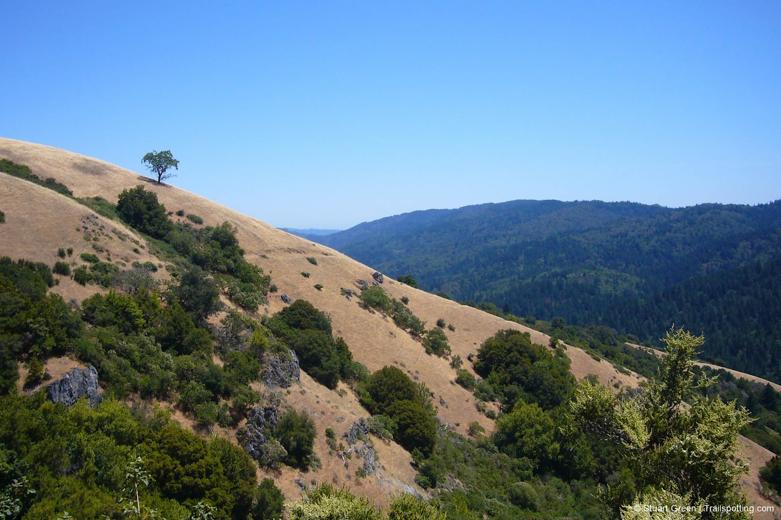
Rising 2,800 feet above Silicon Valley, Black Mountain is the highest peak in these parts of the Santa Cruz Mountains. Monte Bello Open Space Preserve encompasses not only the Black Mountain summit and valley vistas but also sweeping grassy plains, tree covered gulleys and peek-a-boo ocean views.
The loop trail from the Page Mill Road parking lot and trailhead begins in grassland then follows a tree-lined grove before gently ascending 1,300 feet to the mountain summit. Watch out for the sag pond alongside the Canyon Trail grove, a tell-tale sign that the San Andreas fault runs through here, the pond having been created by ground ruptures during recent quakes like the 1989 Loma Prieta and 1906 San Francisco events.
| ⬤ 4★ Monte Bello Loop
GPX File · AllTrails · Directions GPX? |
| P Free parking |
Around two thirds of this hike is through exposed open ground, so sunscreen and water supplies are highly advisable. The return journey does eventually dip under the shade of trees on the Stevens Creek Nature Trail. Geckos and garter snakes scatter as you progress along the nature trail running parallel to the creek before switch-backing upwards into open ground and a short trek back to the trailhead.
No fee for use of the park. If you have time we recommend checking out the short one-and-a-half San Andreas Fault interpretive trail on the other side of Page Mill Road, or extend it to a full three mile exploration of the Los Trancos Open Space Preserve that we've featured previously (see link below).
Route Summary:
• Stevens Creek Tr > Canyon Tr > Bella Vista Tr > Old Ranch Tr > Indian Cr Tr (up) > Monte Bello Rd > Black Mtn Summit > Monte Bello Rd (return) > Indian Cr Tr (down) > Canyon Tr > Stevens Cr Nature Tr
Tangents:
• Official: Monte Bello OSP
• AllTrails Public: Monte Bello & Black Mt
• Facebook Group: Comment, Follow Us

Trailspotting Nearby
3★ Los Trancos (3 mi) ·
3★ Heritage Grove Loop (3-4 mi) ·
4★ Tafoni Trail (5 mi) ·
Show Map

San Francisco Bay's Best Trails
For great hiking trails throughout the Bay Area check these out.
For great hiking trails throughout the Bay Area check these out.

Lake Tahoe's Best Trails
All-year-round fun at this Northern California landmark. Trailspotting has Lake Tahoe hikes for everyone.
All-year-round fun at this Northern California landmark. Trailspotting has Lake Tahoe hikes for everyone.


