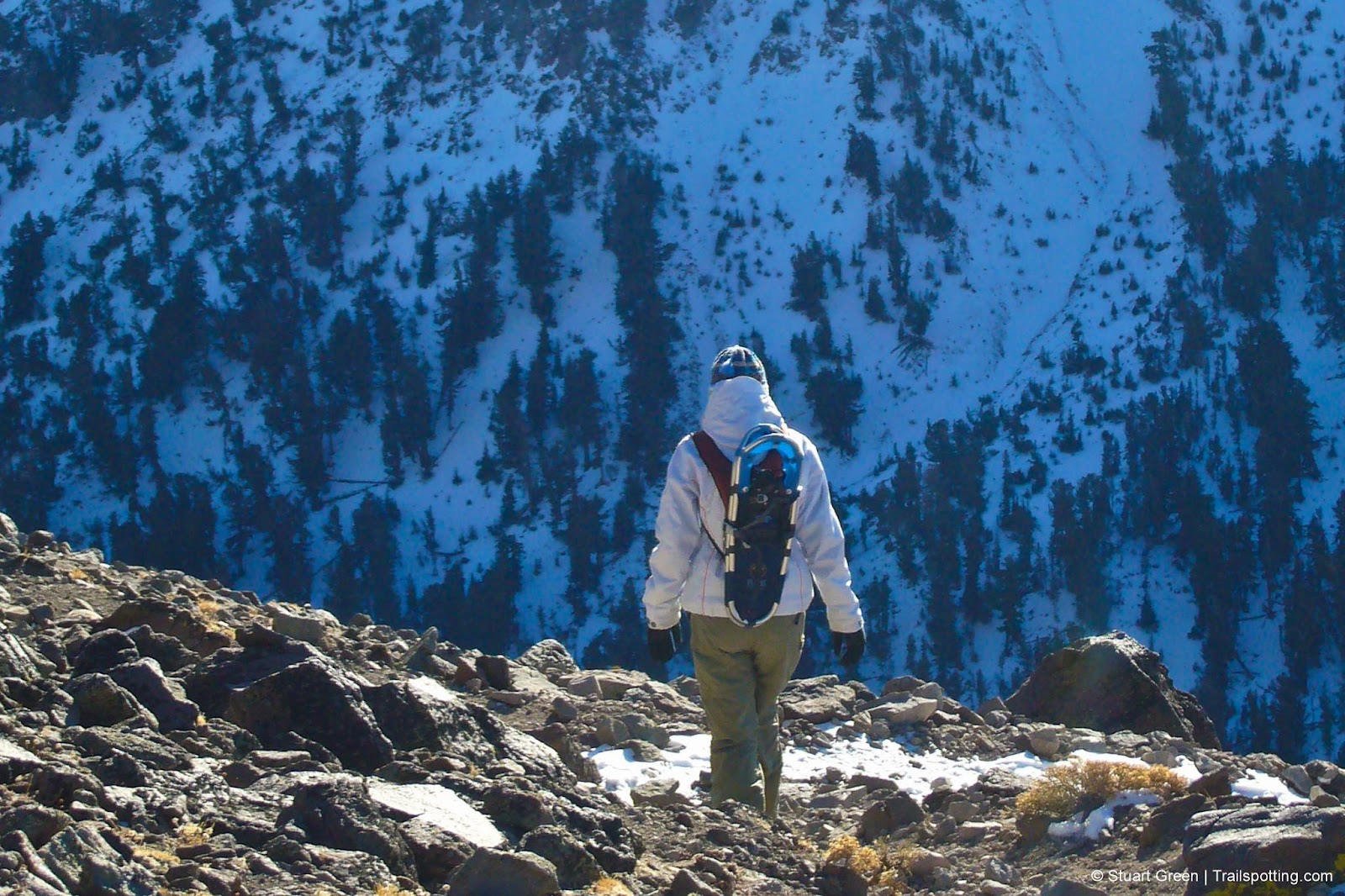
Mount Rose, Lake Tahoe NV
• 4-star hike
• 6 to 10 mile options
• Moderate | Gain 680 to 2,340 ft | Peak 10,776 ft
• Incline Village, NV | Lake Tahoe
.

Mount Rose is the second tallest peak in Tahoe basin and prominent feature of the northern Lake Tahoe skyline, yet the best adjective to describe the journey to the peak is closer to 'pleasant' than it is to 'challenging' despite the 2,200 feet of elevation gain.
You'll find the trailhead at the 8,900ft Mount Rose Pass on Nevada's state route 431 complete with ample parking and a large block of restrooms. The trailhead is just behind the restrooms. The right-hand route from the trailhead is the most direct route to the summit from here, cutting a path around the north side of Tamarack Peak with weathered pillars of volcanic rock rising on both sides of you. The route eventually leads past a waterfall and into a valley before rising to a saddle then on to the technically easy final assault on Mount Rose.
| ⬤ 4★ Mt Rose Out & Back
GPX File · AllTrails · Directions GPX? |
| ⬤
4★ Mt Rose Summit & Loop
GPX File · AllTrails · Directions |
| ⬤ 3★ Tamarack Loop
GPX File · AllTrails · Directions |
| P Free parking |
Naturally the views from the top can be incredible on a clear day - peaks all around, highways below you snaking around lakes you never knew existed and the deep-blue expanse of Lake Tahoe to the south. Any time from early summer thru November is a good time to tackle this peak, though the best of the wildflowers in this area can usually be found during late July.
Return the way you came, or consider extending your return journey by just half a mile of mostly level trail by taking the loop around the south side of Tamarack Peak. Known as the old Mt. Rose trail, this route follows the path of the Tahoe Rim Trail for the most part and rewards with excellent panoramic Lake Tahoe vistas.

Tangents:
• Official: Forest Service
• AllTrails Public: Mount Rose Trail
• Facebook Group: Comment, Follow Us


Lake Tahoe's Best Trails
All-year-round fun at this Northern California landmark. Trailspotting has Lake Tahoe hikes for everyone.
All-year-round fun at this Northern California landmark. Trailspotting has Lake Tahoe hikes for everyone.

Best Trails of California
See our favorite hiking trails for each region of California.
See our favorite hiking trails for each region of California.


