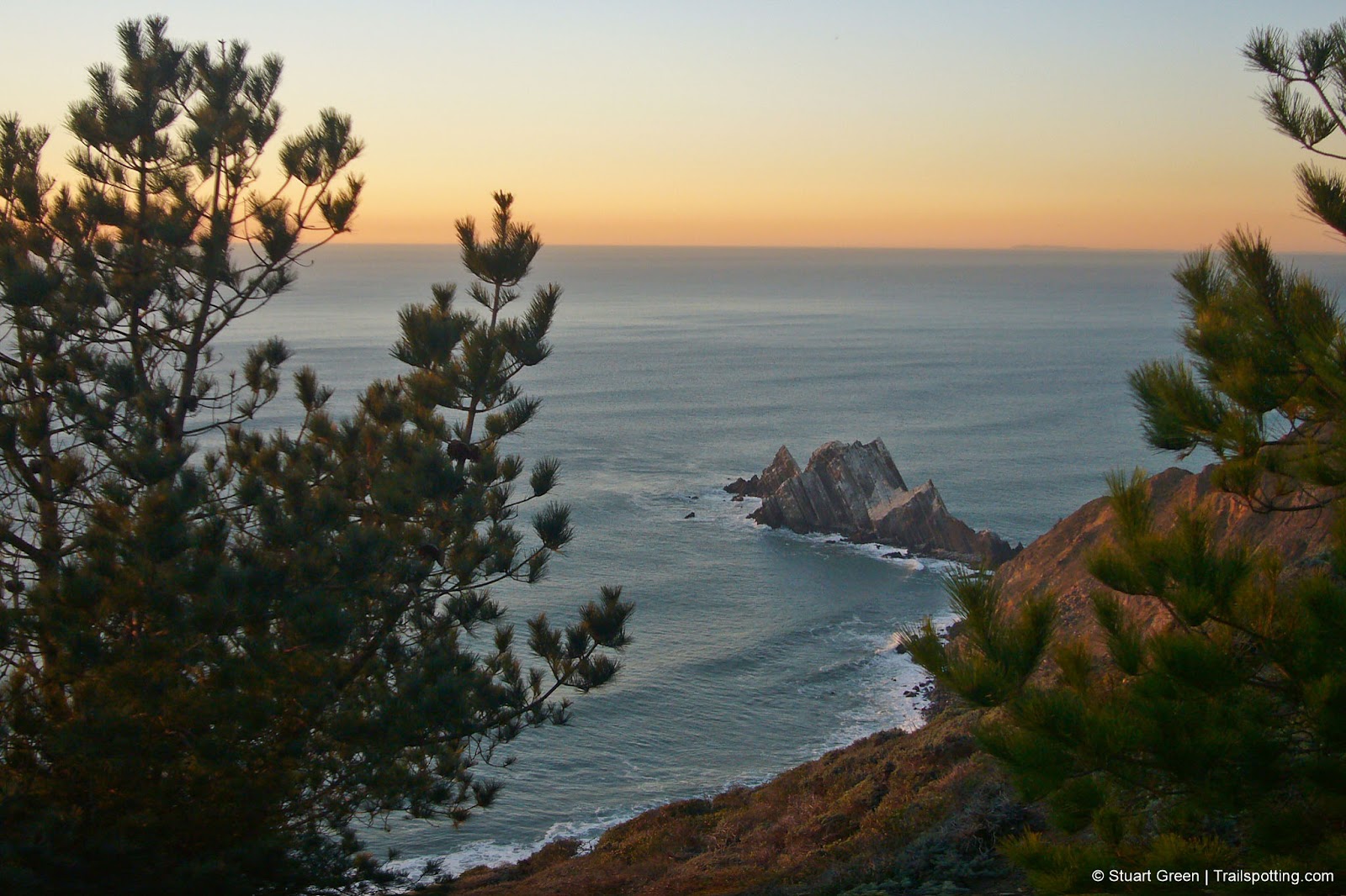
Pedro Point Headlands, Pacifica CA
• 4-star hike
• 2 to 3 mile options
• Moderate | Gain 570 to 710 feet
• Pacifica, CA | San Francisco Region
.

Rocky outcroppings at the end of a Pedro Point sunset.
Pedro Point Headlands is one of the newest trail systems on the peninsula, including trails which are still under development yet already passable today for hikers. Recently publicly owned, some areas are being gradually nursed back to health from dirtbike previous use, but other areas are unspoiled and secluded.
Featuring unparalleled views of the San Francisco peninsula shoreline, this area of outstanding coastline and natural habitat of several endangered species tower above the surfers of Linda Mar beach at the southern most point of the city of Pacifica.
| ⬤ 4★ Devil's Slide Trailhead
GPX File · AllTrails · Directions GPX? |
| ⬤ 4★ Linda Mar Trailhead
GPX File · AllTrails · Directions |
We have a couple of options to choose from depending on where you're able to start your trail, particularly since parking is limited in the two lots by Devil's Slide. Note the two steep sections of trail marked on our map which may cause issues for some.
⬤ Devil's Slide Trailhead
Slightly shorter and less elevation gain than the other recommended route. Begins by the Devil's Slide parking lot, though an empty parking spot can be very hard to come by.
⬤ Linda Mar Trailhead
This route takes advantage of the lesser known coastal trail that is still under development by available to hike today. Parking is unofficial and unmarked near Ace Hardware. Follow the side of Route 1 on the protected side of the road barriers until you see a trail that disappears into the trees.

The trails above the Pedro Point headlands get steep at times.

Pacifica's Linda Mar Beach is home to the World's Greatest Taco Bell.
Tangents:
• Official: Pedro Point Headlands
• AllTrails Public: Pedro Point
• Facebook Group: Comment, Follow Us

Trailspotting Nearby
3★ Devil's Slide (3 mi) ·
4★ Montara Mountain (7-11 mi) ·
4★ Milagra Ridge (1-2 mi) ·
Show Map

San Francisco Bay's Best Trails
For great hiking trails throughout the Bay Area check these out.
For great hiking trails throughout the Bay Area check these out.

Best Trails of California
See our favorite hiking trails for each region of California.
See our favorite hiking trails for each region of California.


