Round Top, Carson Pass CA
• 5-star hikes
• 5 to 10 mile options
• Moderate | Gain 1,230 to 3,410 ft | Peak 10,381 ft
• Carson Pass, CA | Lake Tahoe
.

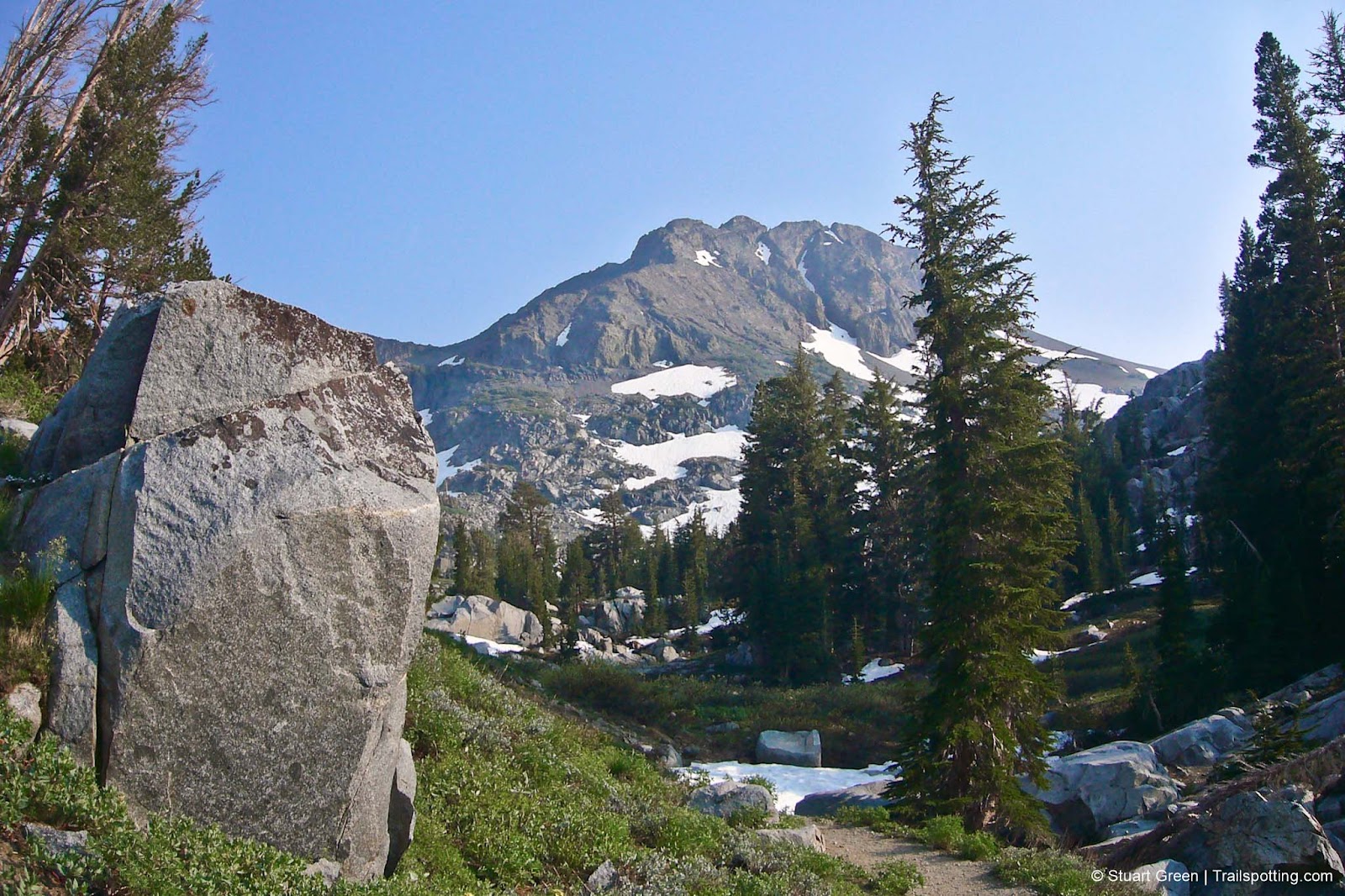
Round Top on the Woods Lake Loop.
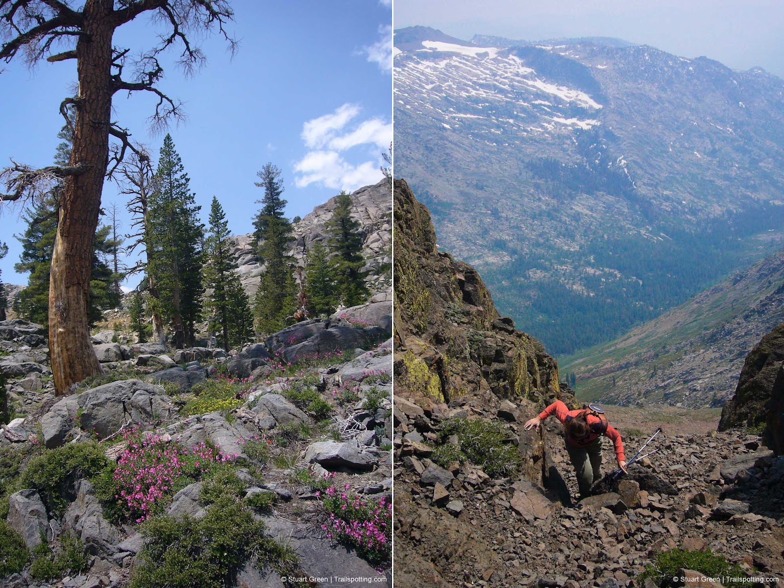
Any time is a great time to visit Round Top, South of Lake Tahoe near the ski resort of Kirkwood, but the best time is around June to July when you can be surrounded by one of the finest wildflower displays in Northern California. Regardless of when you visit, there's still plenty to visit - alpine meadows, crystal clear lakes, fast flowing brooks, abandoned mine buildings and the last remaining patches of the previous winter's snow. Remember to pack the bug spray in summer, as Woods Lake at that time can be one big bug party.
Elevation gain is gradual and consistent up to Round Top Lake, after which the climb becomes more noticable. Unlike the name suggests, Round Top's peak is decidedly jagged and pointed near the summit and requires some scrambling and bouldering. We even struggled with some mild feelings of vertigo to reach the very top.
| ⬤ 5★ Round Top Out & Back
GPX File · AllTrails · Directions GPX? |
| ⬤ 5★ Woods Lake Loop
GPX File · AllTrails · Directions |
| ⬤ 4★ Carson Pass Out & Back
GPX File · AllTrails · Directions |
| $ Paid parking |
We've included several routes to choose from, including the option to start at one of two separate trailheads, both of which require day-use parking fees. Note that in winter and spring only the Carson Pass parking area is likely available, and you'll need to purchase a winter sno-park permit in advance. More details about the trailheads and the permit are in the 'official' Forest Service link at the bottom of the page.
⬤ Round Top Out & Back
Shortest way from trailhead to summit, passing the abandoned mining camp and Round Top lake on the way. Including a detour to The Sisters adds a further 0.4 miles and 110 feet gain. You can also extend your hike from Round Top Lake down to Fourth of July Lake with the side trip we show on our map.

Round Top Lake, as seen from the flanks of Round Top itself.
⬤ Woods Lake Loop
Even without tackling the summit this is a great loop trail and includes a visit to Winnemucca Lake. The lake loop is 4.9 miles and 1,230 feet of gain, but you can add a 1.6 mile round trip and an extra 1,000 foot of elevation gain if you'd like to add a side-trip to the Round Top summit. We recommend a counter-clockwise route of the lake loop, but be sure to look back towards Round Top as you descend through the alpine scenery below Winemucca Lake.
⬤ Carson Pass Out & Back
Longer but still great hike to Round Top summit, and includes the Western shores of Winnemucca Lake. In winter and spring Woods Lake trailhead is closed and this is the only trailhead option. Expect snow and icy conditions up here. Even in June, we glissaded back down from the summit on a patch of snow.

Wildflowers by the mineworks. | Scramble to Round Top's summit.
Tangents:
• Official: Forest Service
• AllTrails Public: Round Top
• Facebook Group: Comment, Follow Us

Trailspotting Nearby
4★ Echo Lake (3-9 mi) ·
5★ Horsetail Falls (3 mi) ·
3★ Ralston Peak (7 mi) ·
Show Map

Lake Tahoe's Best Trails
All-year-round fun at this Northern California landmark. Trailspotting has Lake Tahoe hikes for everyone.
All-year-round fun at this Northern California landmark. Trailspotting has Lake Tahoe hikes for everyone.

California Summits
Explore mountain-top hikes around California with Trailspotting.
Explore mountain-top hikes around California with Trailspotting.


