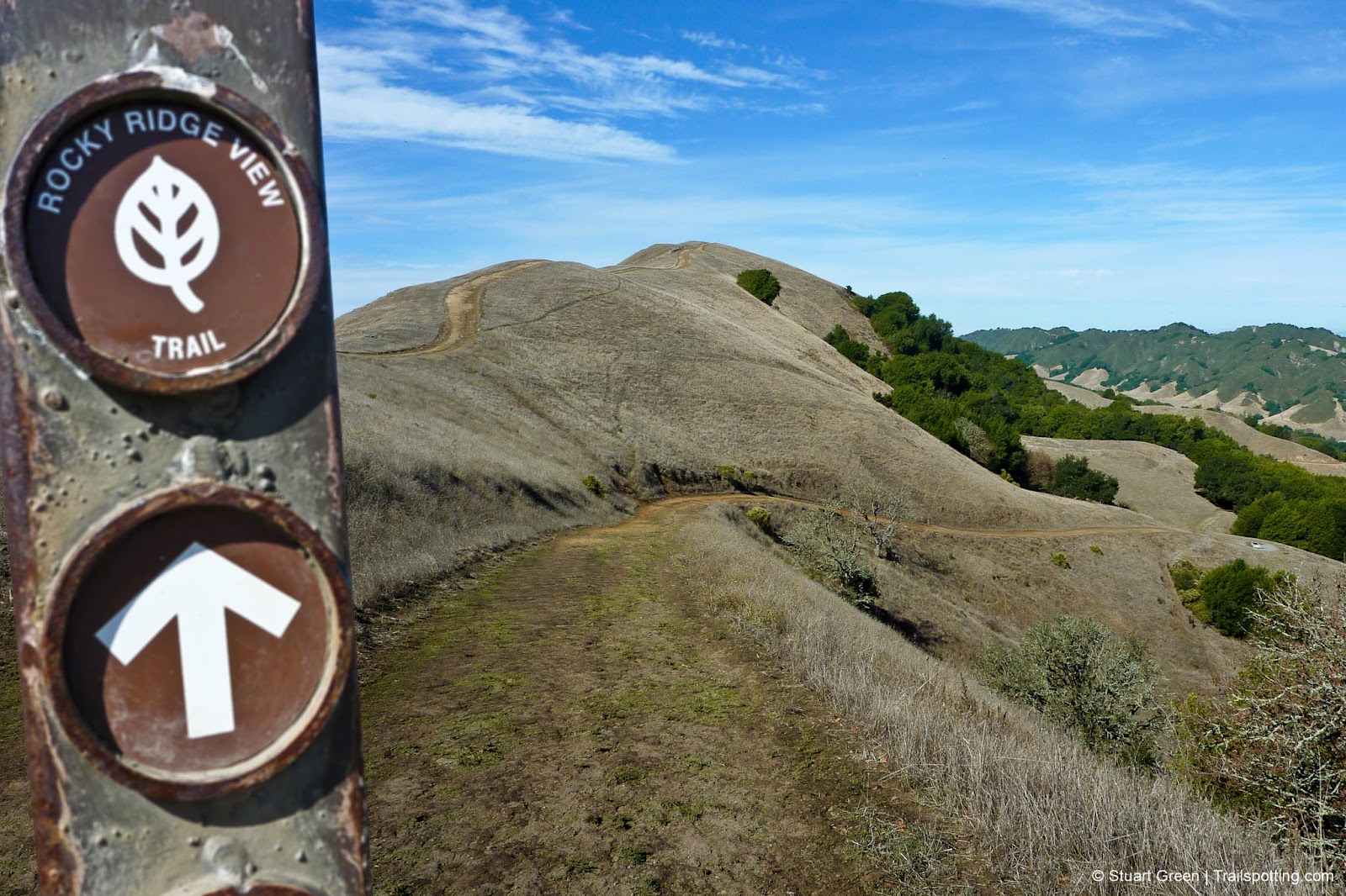
Las Trampas Rocky Ridge Loop CA
• 4-star hike
• 5 mile loop
• Easy | Gain 1,090 feet
• Danville, CA | San Francisco Region
.

Well-defined trails in the Las Trampas Regional Wilderness
Wildflower lovers will love the springtime scenery of Las Trampas Regional Wilderness, but when the blooms have faded this East Bay park still has plenty to marvel at. Eagle-eyed hikers in autumn and winter will spot birds of prey amongst the gliding turkey vultures, and there's also the chance of a golden eagle sighting.
You'll be immediately aware that there's some elevation gain to this trail, and in fact this clockwise route up the westerly slope gets all of the hill climbing out of the way in one go. When you arrive at the Upper San Leandro watershed gate, hang a left and take the single track trail to the ridgeline. The watershed is off-limits without a hiking permit.
| ⬤
4★ Rocky Ridge Loop GPX File · AllTrails · Directions GPX? |
| P Free parking |
From the top of Rocky Ridge it's easy to forget that you're barely a stone's throw from the towns of Danville and San Ramon, and you can delight in the rolling scenery of the park below and distant views of the San Francisco Bay.
Follow the ridgeline south while admiring the scenery, but watch out for white patches of rock exposed in the trail. It's not rock, but actually clumps of shell fossils, which illustrate that everything around you was once below sea level. Return to the trailhead and complete this loop by returning along the gently descending and partially shaded Elderberry Trail.
Note that the heat of the summer months in East Bay parks is not kind on hikers and Las Trampas is no exception since most of the trails are exposed and offer little shade.

Mount Diablo's massiveness makes itself known above Las Trampas ridgeline.
Tangents:
• Official: East Bay Parks
• AllTrails Public: Rocky Ridge Loop
• Facebook Group: Comment, Follow Us

San Francisco Bay's Best Trails
For great hiking trails throughout the Bay Area check these out.
For great hiking trails throughout the Bay Area check these out.

California Summits
Explore mountain-top hikes around California with Trailspotting.
Explore mountain-top hikes around California with Trailspotting.

Best Trails of California
See our favorite hiking trails for each region of California.
See our favorite hiking trails for each region of California.


