Piestewa Peak, Phoenix AZ
• 4-star hike
• 2 to 5 mile options
• Moderate | Gain 1,070 to 2,180 feet
• Phoenix, AZ | Southwest US
.

Heading for Piestewa Peak's rugged summit.
Many hikers head for the hills in search of solitude, but if you're planning to hike to the summit of Piestewa Peak you'd do better to bring with you your community spirit - rarely have we seen such a busy trail. Hikers, walkers, sightseers and runners alike flock to this prominent peak like moths to a flame, drawn here in part because of it proximity to the city of Phoenix. Despite the crowds this mountain can still be a lot of fun, offering as it does a short but taxing 1,100 ft climb and many great views along the 1 mile route.
At 2,608 feet above sea level, Piestewa Peak's summit is the second highest peak in the Phoenix Mountains after Camelback Mountain. It's the perfect place to admire 360 degree views of the Valley of the Sun, the chain of mountains which run from north to south, and the spectacular sunset which fall over the distant White Mountains.
| ⬤
4★ Piestewa Peak Out & Back
GPX File · AllTrails · Directions GPX? |
| ⬤
3★ Circumference Trail
GPX File · AllTrails · Directions |
If you feel the need to escape from the throngs, you can always extend your return journey along the much less travelled Circumference Trail which traces a flanking route around the mountain. The trip around the mountain measures around 3.1 miles from the peak trail and back to the trailhead. If your intent is to accomplish both routes today, then we'd recommend a clockwise journey first to the peak, followed by a more gentle descent down and around the mountain.
Parking is a challenge, as is understanding the parking restrictions that prevail. Parking lots appear close at 7pm, which isn't helpful for folk who want to watch enjoy a good sunset from the summit - but with a little ingenuity you can find places to park without such limitations.

Piestewa has a very distinctive rocky peak that overlooks the entire Phoenix area.

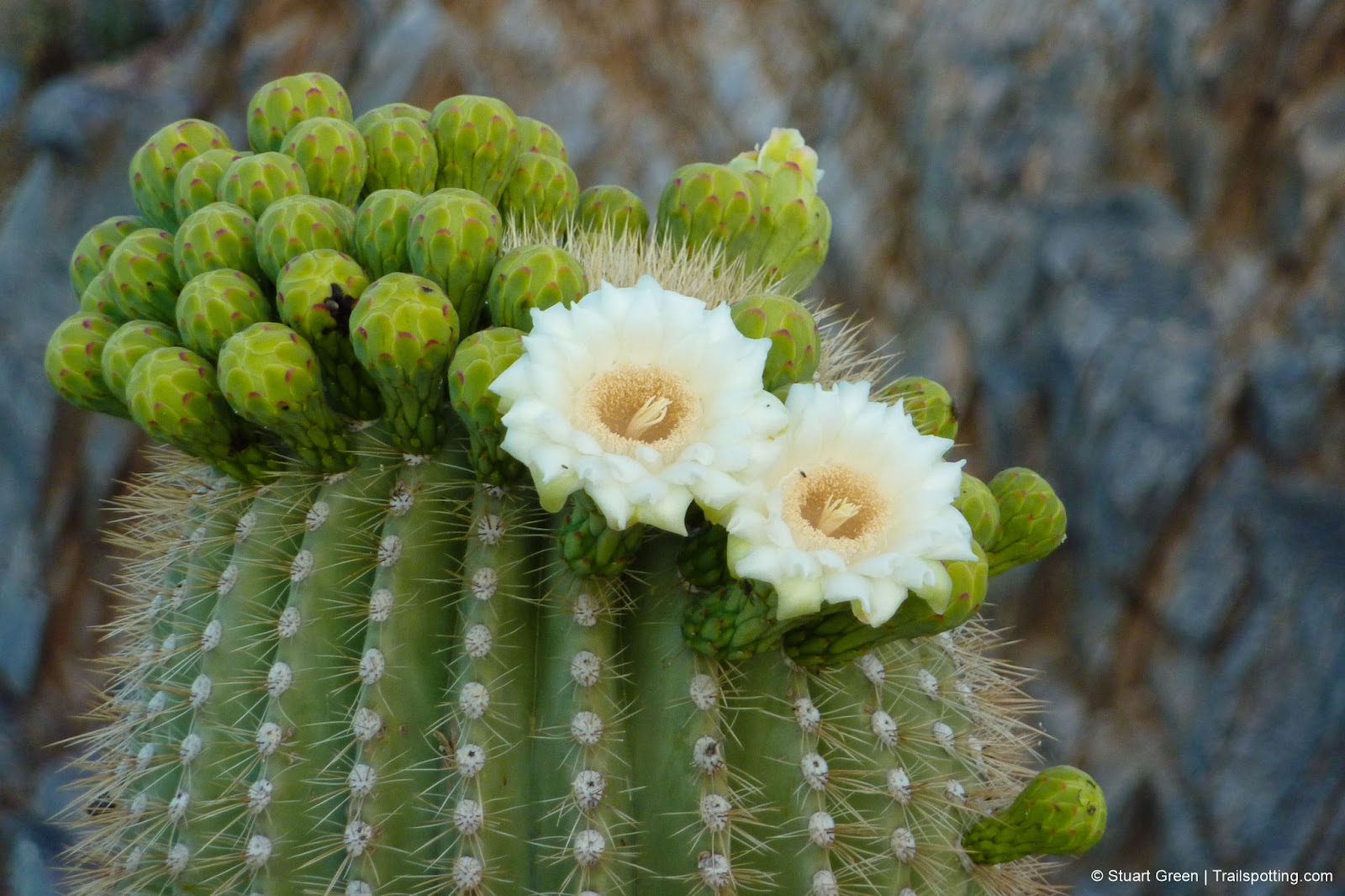
There are pockets of flora on the mountain if you look for it.
⚠ Heat Safety Tips: Shade is extremely limited on this trail. Please stay safe in hot weather by knowing the forecast and planning to avoid the hottest parts of the day. Recognize danger signs and turn back when necessary. Wear lightweight non-cotton clothing and head coverings. Use sunblock and UV chapstick. Bring more water than you think you need, coupled with salt & electrolite tablets.
Tangents:
• Official: Phoenix Parks & Recreation
• AllTrails Public: Summit Trail
• Facebook Group: Comment, Follow Us

Trailspotting the Southwest
See our growing collection of hikes from the Southwestern US states.
See our growing collection of hikes from the Southwestern US states.

Best Trails of California
See our favorite hiking trails for each region of California.
See our favorite hiking trails for each region of California.


