
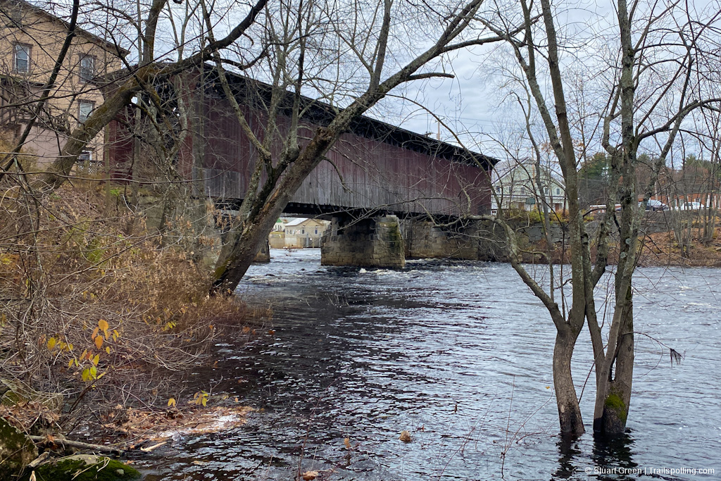
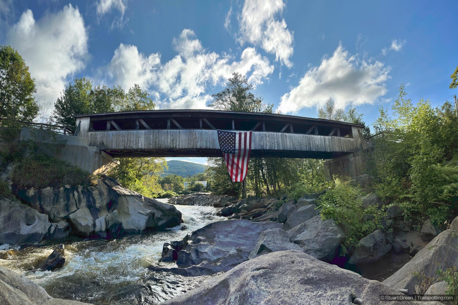
Covered Bridges of New Hampshire

We've mapped the state's covered bridges to help us locate them on our explorations and we hope this will help you too. Below you'll also find an alphabetized list of all covered bridges, complete with driving directions and links to Trailspotting reviews and maps of adjacent trails. Trails labeled with an asterisk may be a short walk or drive from the bridge.
We cannot confirm the accessibility of any bridges that don't have images, as we haven't visited them yet. In all cases, please take precautions to identify private property and heed any no trespassing signs.
Information on these pages is sourced from many places including a Wikipedia article and imagery from Google Maps. Please let us know if you spot any inaccuracies with this content.


Tangents:
• Covered Bridge Book: Kim Varney Chandler
• Facebook Group: Comment on this article

New England Fire Towers
Discover our map of fire towers and the trails to find them.
Discover our map of fire towers and the trails to find them.

New England Rail Trails
The first and only complete rail trail map. Photos, reviews and downloads.
The first and only complete rail trail map. Photos, reviews and downloads.


